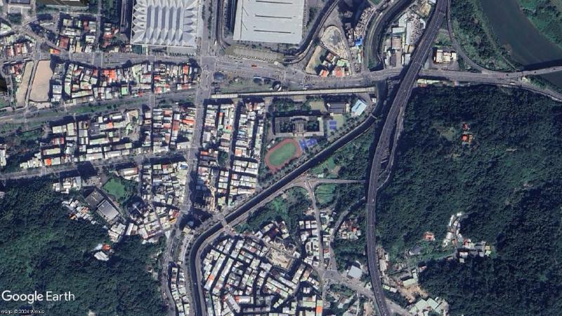
Remote SensingTerrsetResample Google Earth Images從Google Earth 中擷取出特定範圍內的 5 張空拍高度為 1200m 的照片,再將 5 張照片匯入到 Terrset 內進行圖層拼接。